
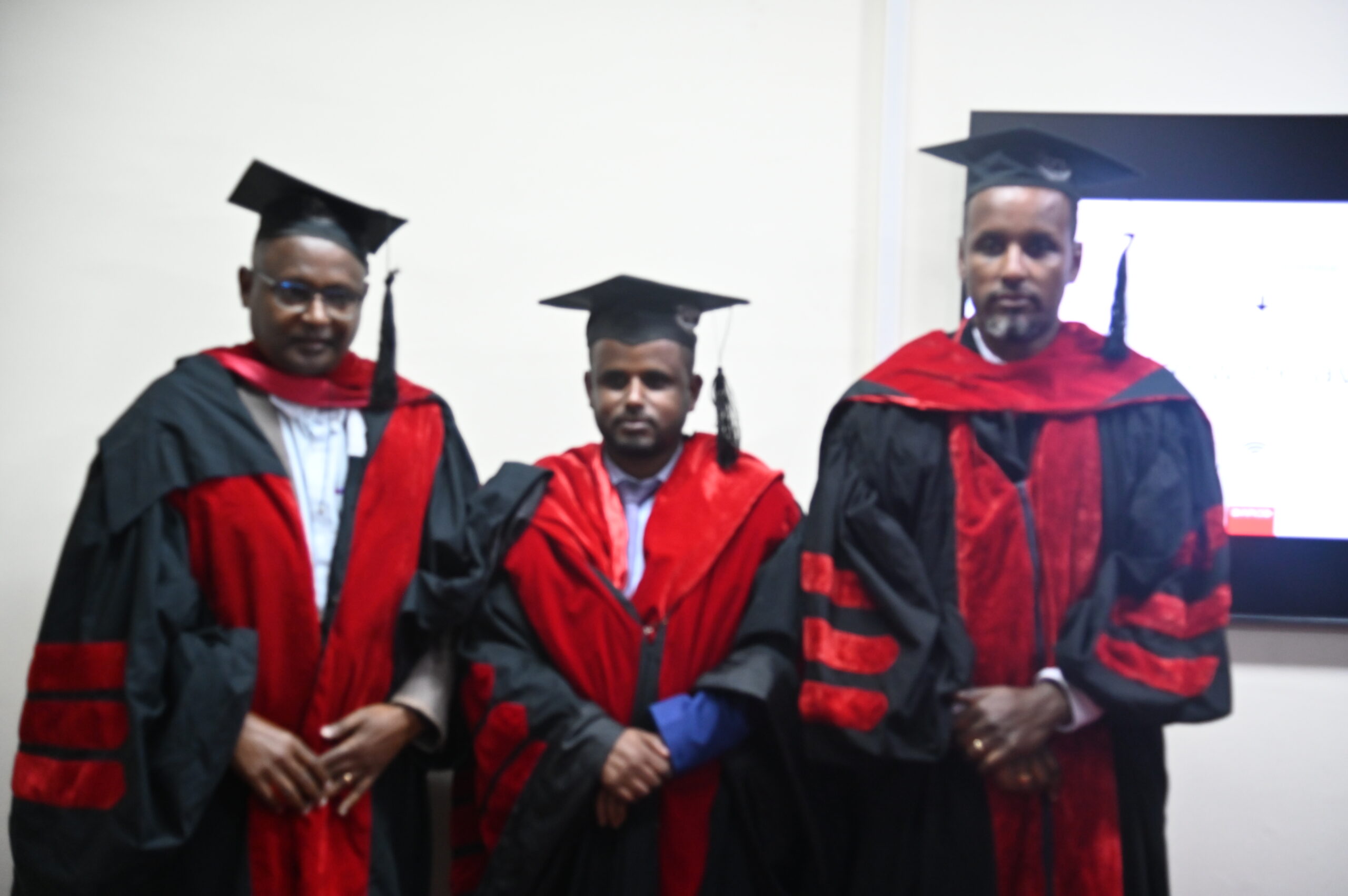
YILKAL GEBEYEHU HAS SUCCESSFULLY DEFENDED HIS PhD DISSERTATION
The topic of the dissertation was Remote Sensing Based Evapotranspiration Modelling for Irrigation Performance Assessment in Jedeb Watershed, Upper Blue Nile Basin, Ethiopia.
AccurateETa and irrigated area maps are important in assessing irrigation performance to improve water resource management. Yilikal’s study compared GEE machine learning algorithms for irrigated area mapping, customized the SEBALI model using high-resolution LULC and Python, and evaluated the performance of a small-scale irrigation scheme using remote sensing in the Jedeb watershed, Upper Blue Nile.
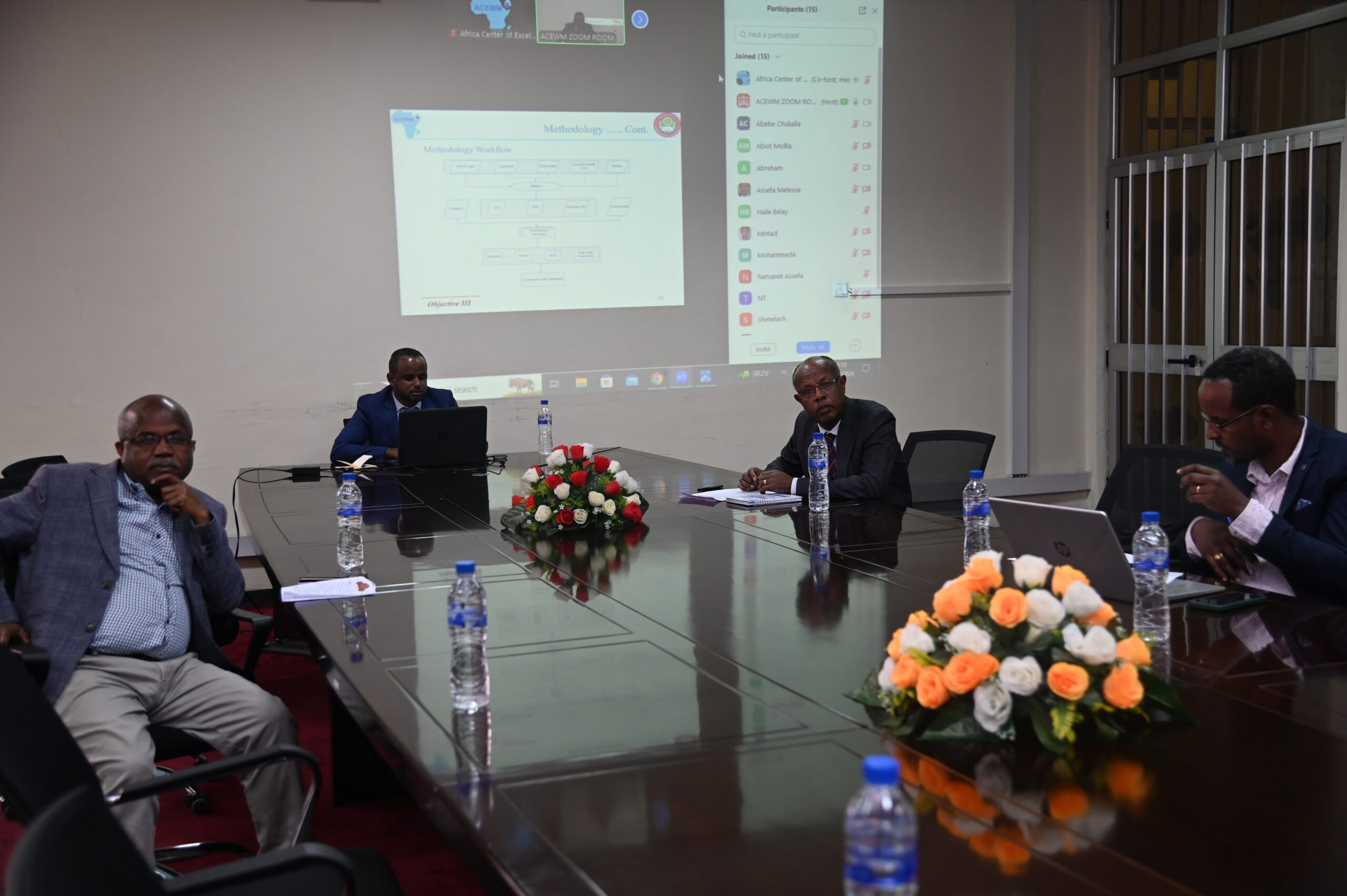
Yilikal said the main inputs of the study were Sentinel-1, Sentinel-2, Landsat 8, and ERA5 reanalysis data. Random Forestclassifier found consistent in mapping irrigated areas. SEBALI was validated using ETa fromEC, SWAT+ model, and WaPOR. SEBALIGEEpy provides accurate ETa with fewer missing records. Shimburit scheme showed good equity and satisfactory water distribution among fields and within the field with OCR of 0.54 and 0.43 and mean CWP of wheat estimated 2.49 kg/m3 for the two seasons. The study showed the potential of remote sensing to evaluate irrigation performance and water productivity per field within smallholder irrigation schemes.
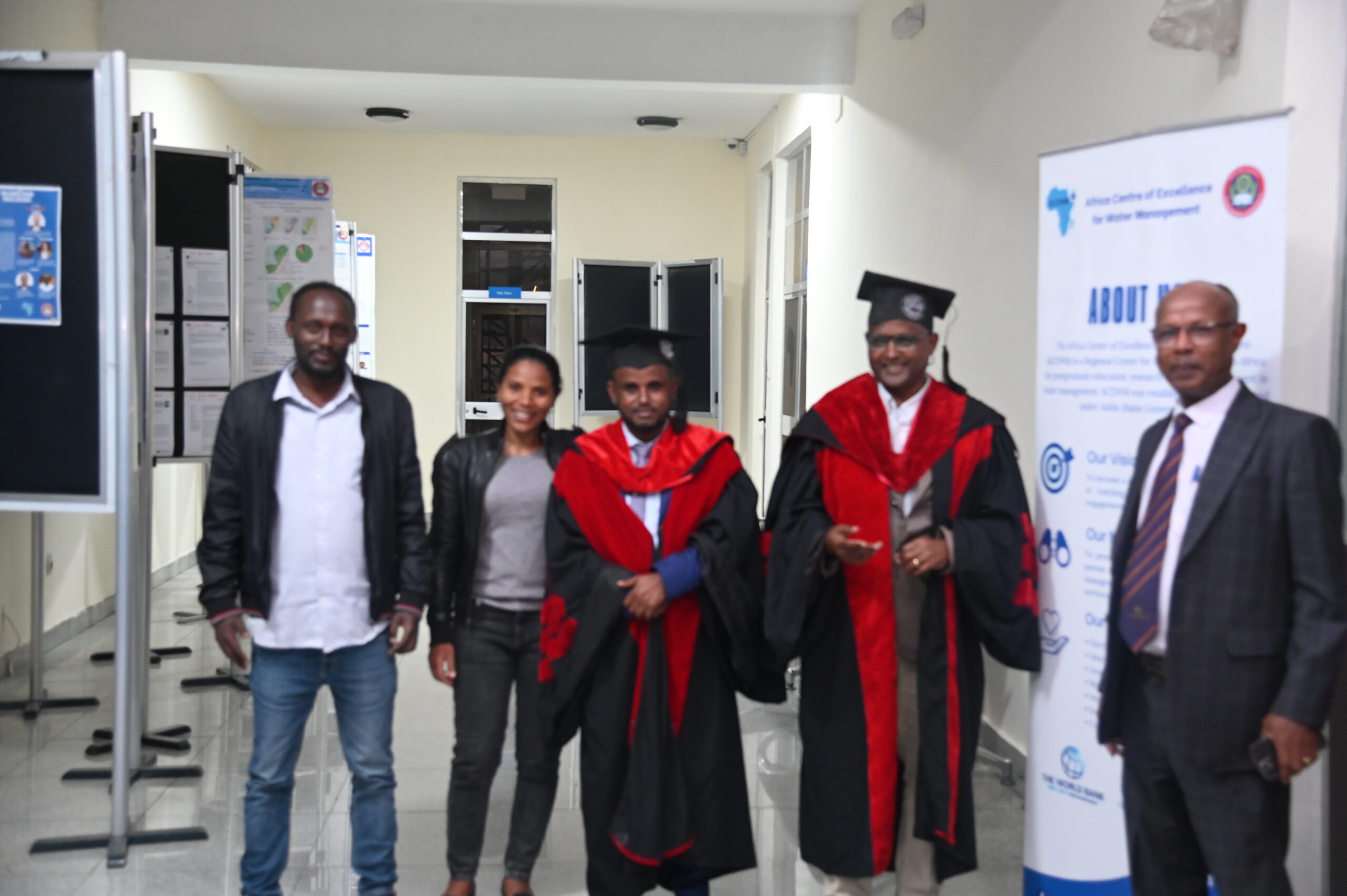
Prof. Feleke Zewge chaired the defense session, with Dr. Tena Alamirew from Addis Ababa University, as the main supervisor and Dr. Abebe Demissie from IHE Delft Institute for Water Education, Delft, and The Netherlands as co-supervisor.
Dr. Zeleke Agide from Addis Ababa University and Prof. Assefa M. Melesse, from Florida International University, served as internal examiner and external examiners, respectively.